

In this post, we will learn how to make world map using ggplot2 in R. We will use geom_map() function to make map with ggplot2. And then we will see an example of overlaying data on the world map. To overlay, we will use volcano eruption data from TidyTuesday project to overlay the locations of… Continue reading How To Make World Map with ggplot2 in R?
Category: maps ggplot2
How To Make US State and County Level Maps in R?

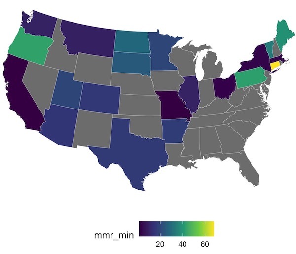
Creating maps is one of the most powerful ways to visualize data, and R’s ggplot2 package makes it surprisingly straightforward. In this tutorial, you’ll learn how to build beautiful and informative US maps from the ground up. We’ll guide you step-by-step through creating both state-level and detailed county-level maps. Then we will see how to… Continue reading How To Make US State and County Level Maps in R?